
This is What We Came For: Part 3

We have been the beneficiaries of incredible Aussie hospitality at every turn on our journey so far. Readers of Miles from Brooklyn will know of how Vic Widman at Great Divide Tours helped us immeasurably while we planned our trip from the States and upon arrival, and we are happy to report that we were fortunate enough to encounter many new friends on our trip to Cape York as well. Cairns-based 4WD enthusiast Mark McGirr from MySwag spent an hour with us before we headed out reviewing the best camping spots along the journey, which crossings were the most treacherous for towing a camper, and providing many other helpful tips from his experience. On day two on the Tele Track journey we made some great new “mates” – Craig, Cameron and Leif- who literally saved our American bacon, but more on that later…
[If you haven’t already read them, read Part 1 and Part 2 of this adventure first.]
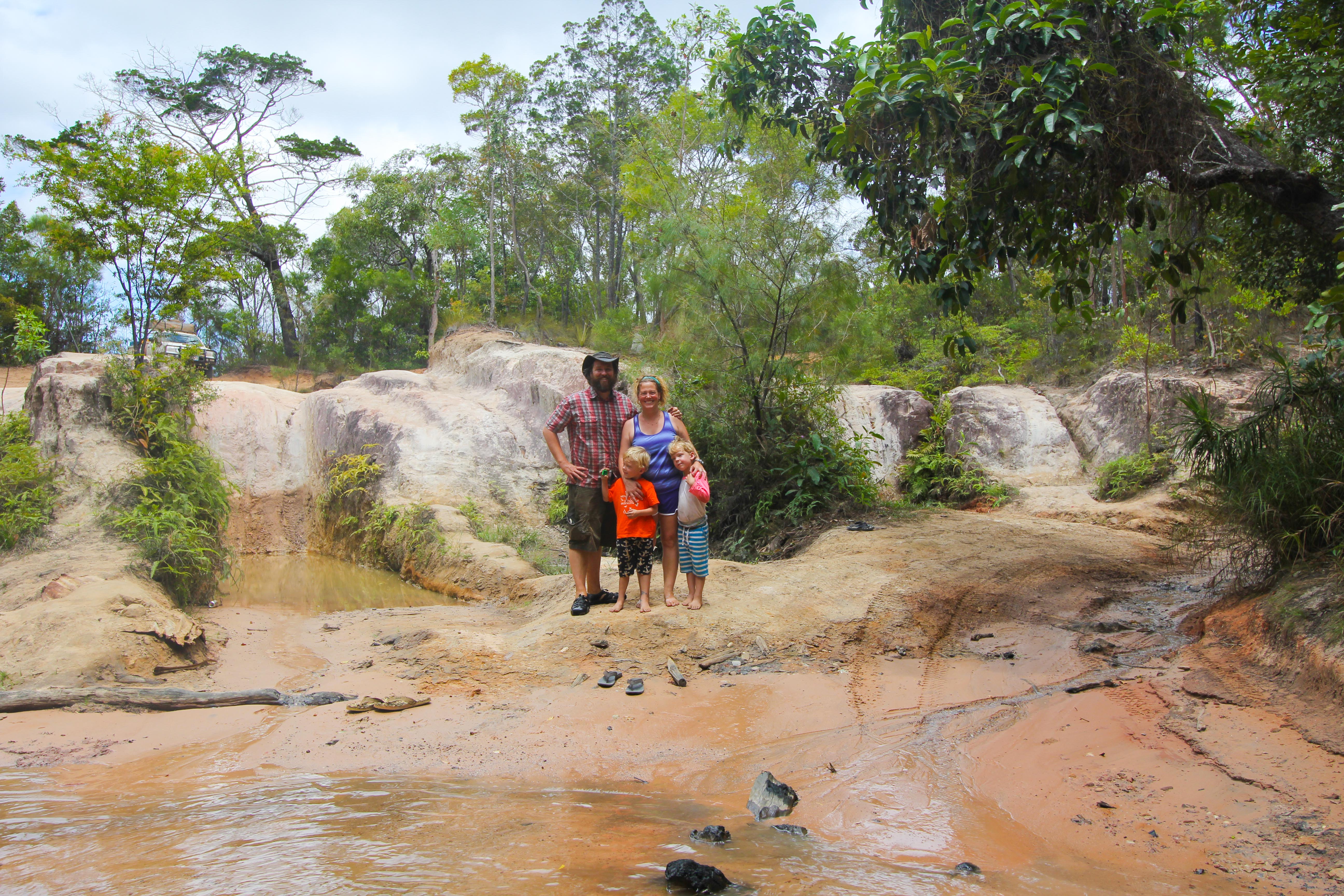
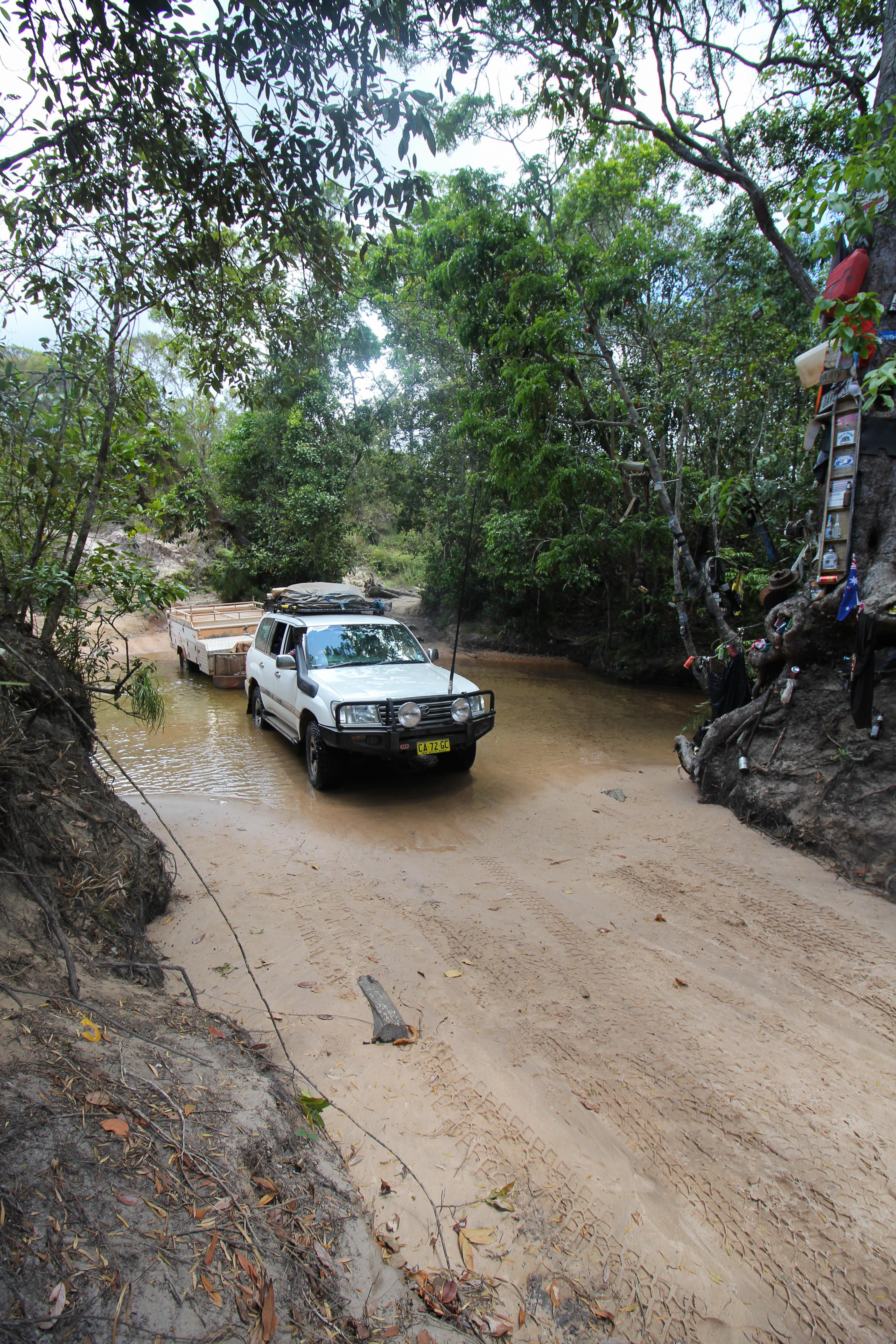
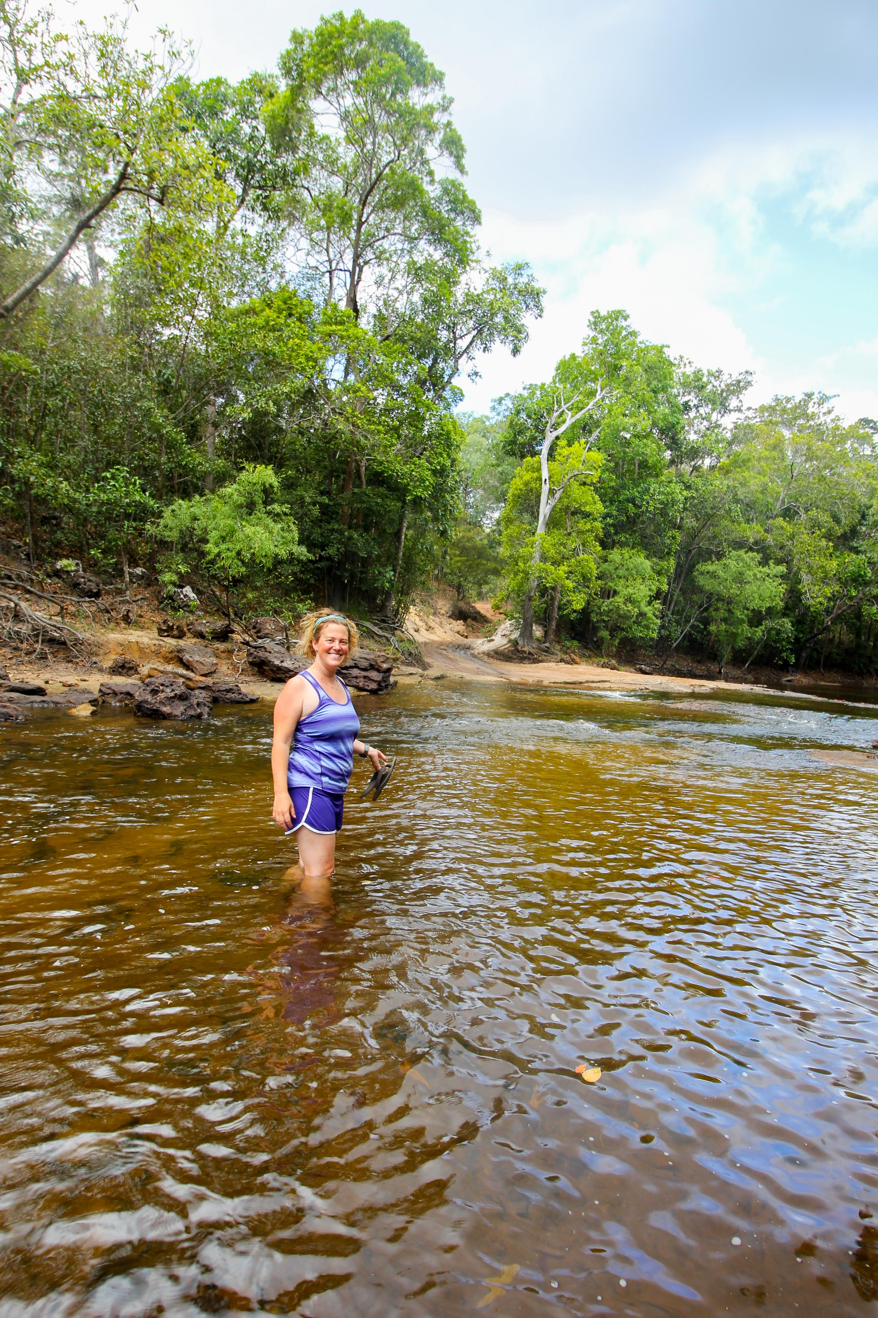
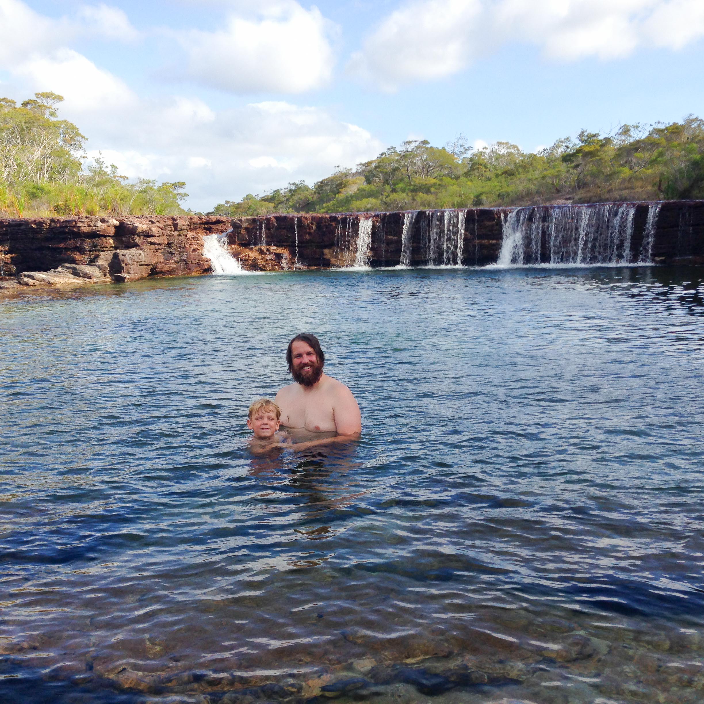
The journey from Palm Creek to our first camp site, the Dulhunty River, was slow going on a rough, narrow track with deep ruts and two more manageable creek crossings, Ducie Creek and North Alice Creek. It took us about three hours to make it the 25 kilometers, or a little over 15 miles, from Palm Creek to Dulhunty. When we got to Dulhunty we took a dip in the water, relaxing by a shallow waterfall, and then set up for a great night of camping. I gathered some firewood and Miranda broke out the camp oven to make roast lamb.
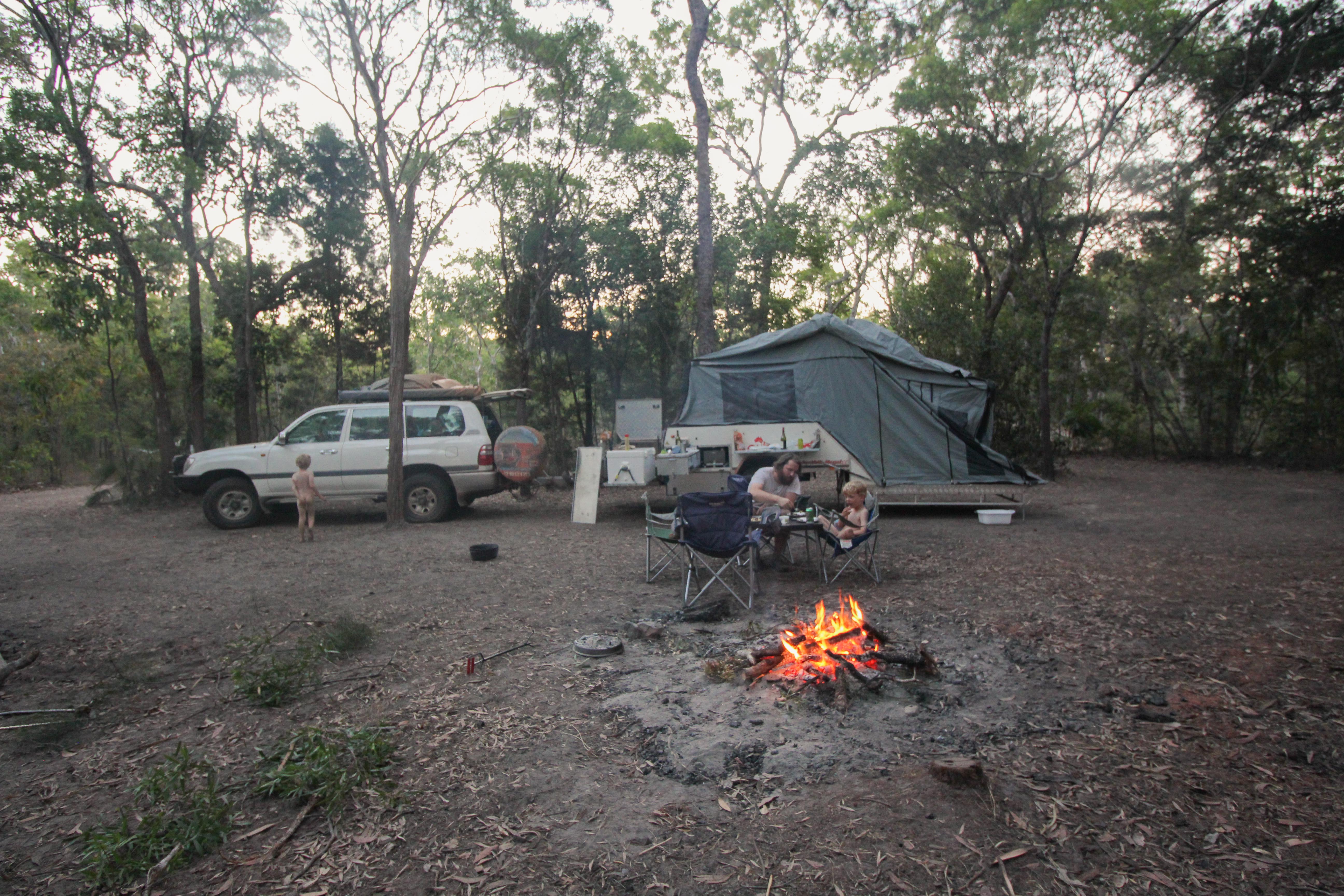
Camping at the Dulhunty River

Cooling off in the Dulhunty
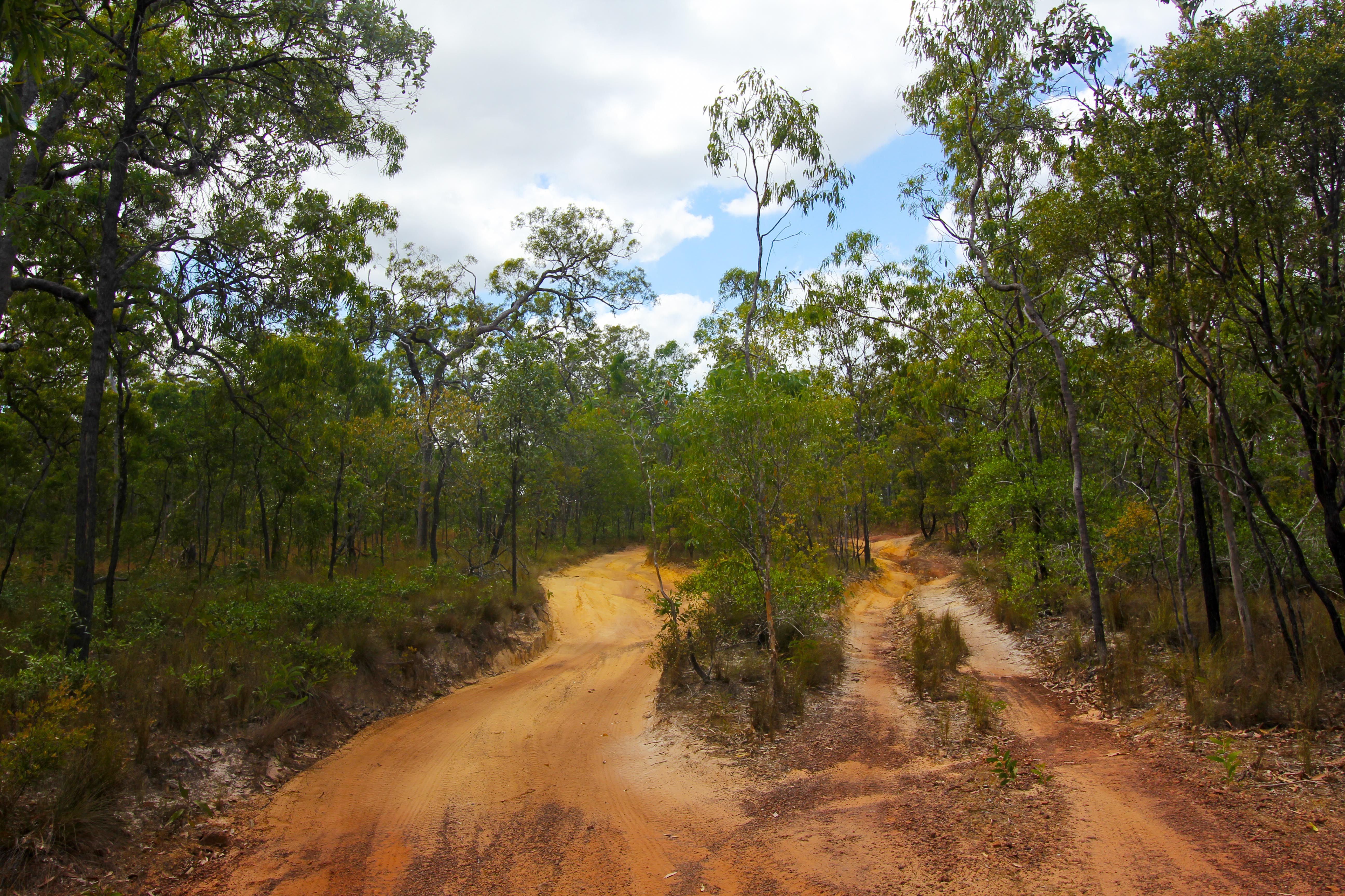
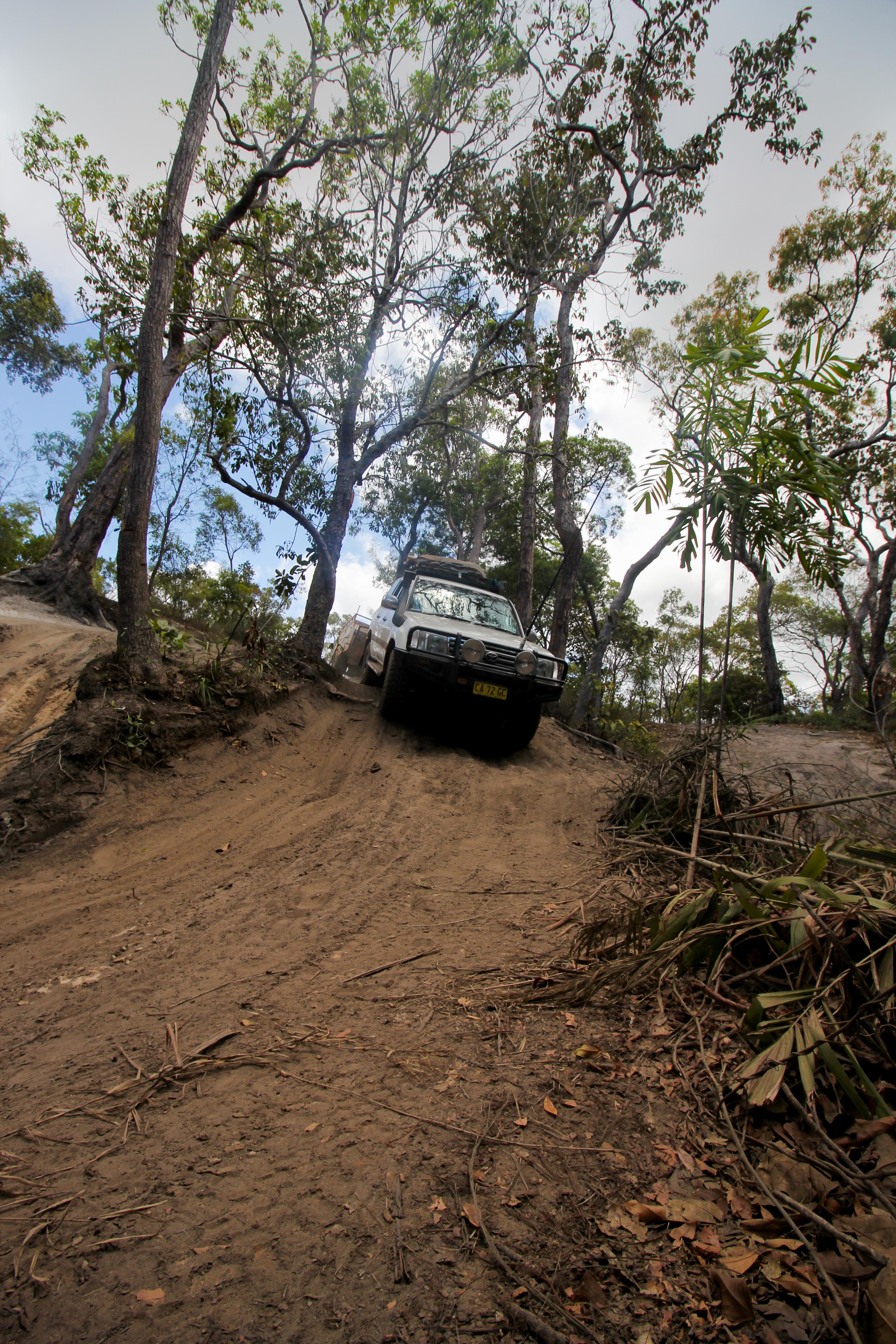
You may be wondering about our average speed of 5mph, which, even with the crossings was much slower than we’d planned. It’s hard to describe the feeling of driving through miles of deeply rutted roads, but I have to say- Miranda and I agree it’s much better to drive than to be a passenger! The track had long deep gashes in it, presumably from where water once ran or maybe the effect of shocks and tires breaking down the sandy track over time.
It’s important to note two things: 1) We failed to take any good pictures of the ruts 2) The failure was largely driven by a desire to get past those sections as quickly as possible.
However they are formed, this track is not exactly maintained with tax dollars like your average interstate 🙂 The angles are tough and often require that either the driver or passenger ends up looking down diagonally across the car at the other, feeling queasy dangling up in the air. Naturally the driver tends to put the passenger airborne whenever possible 🙂 The Cruiser in 4WD can handle much more of this than our stomachs, causing us to continuously question how steep the angles can get before something on the car ends up snapping.
Another tough part of the ruts and dips is that the driving is a tad counterintuitive. If you can dodge the rut completely, it might make sense to go around it – depending on how steep the angle of the road is – but generally there is nothing you can do and you have to drive through. The reason it is counterintuitive is because most of the the when one drives to avoid obstacles, they are located on one side or the other of the car, making steering away from the hole the best plan. In this case, once you have centered the rut beneath the car, the goal is to continue to straddle it. When you eventually have a tire start to dip in, you steer towards the tire that’s creeping down, in a direction that feels like you’re steering your “safe” wheels into the rut, until you get the dipped tire out. The path is easier if you have excellent wheel placement, which of course we don’t – I would say Miranda has pretty decent wheel placement (she corrects this to say fantastic wheel placement!) and I have average wheel placement skills. Our new “mate” Craig makes wheel placement look like an art form, but alas he was behind the wheel of his own Cruiser…
So all in all, it was a long day of driving for minuscule kilometers, but we had a blast. When we set-up camp for the night we were the only ones in the area. In fact, we hadn’t seen another car since we said farewell to our friends at Palm Creek.
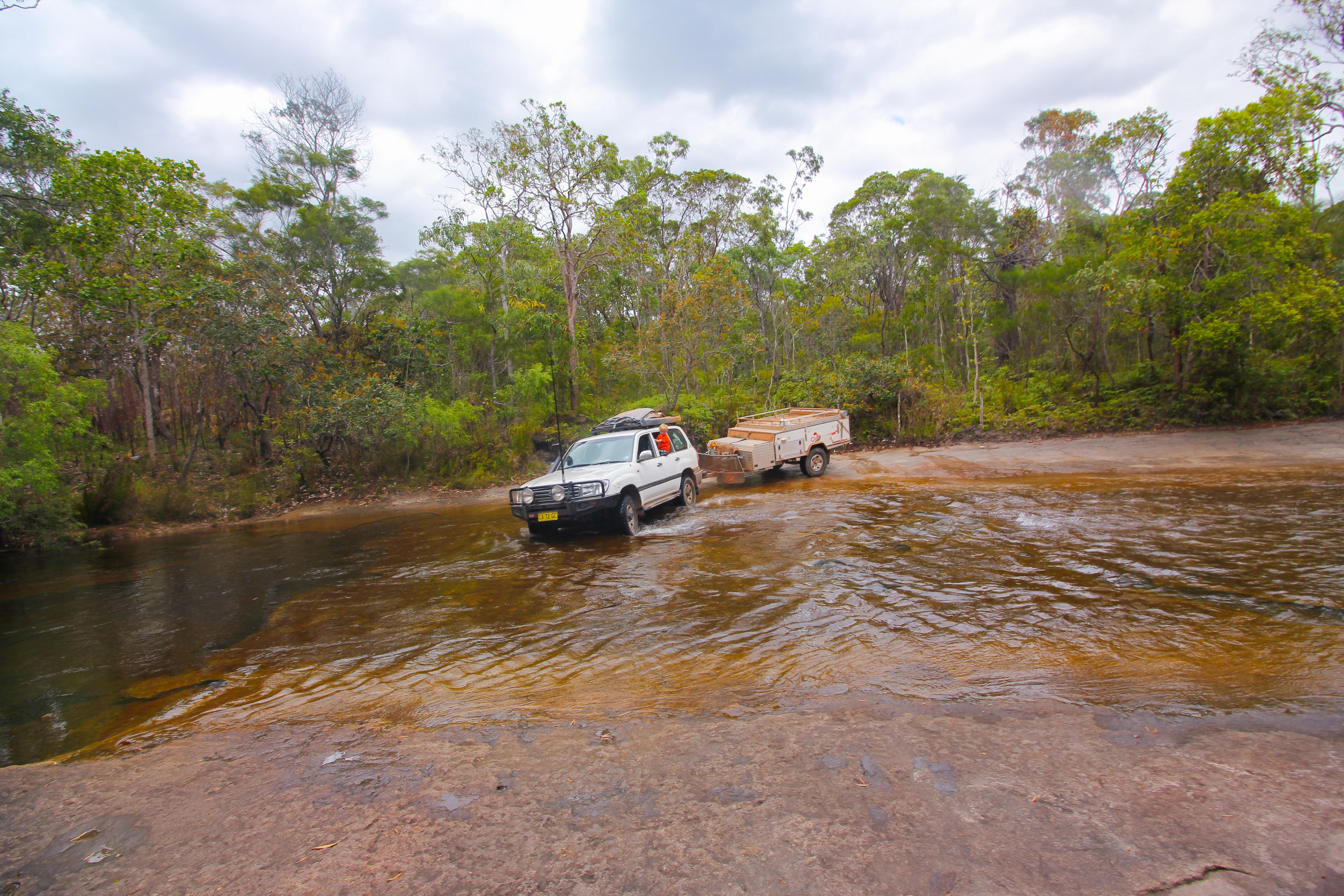
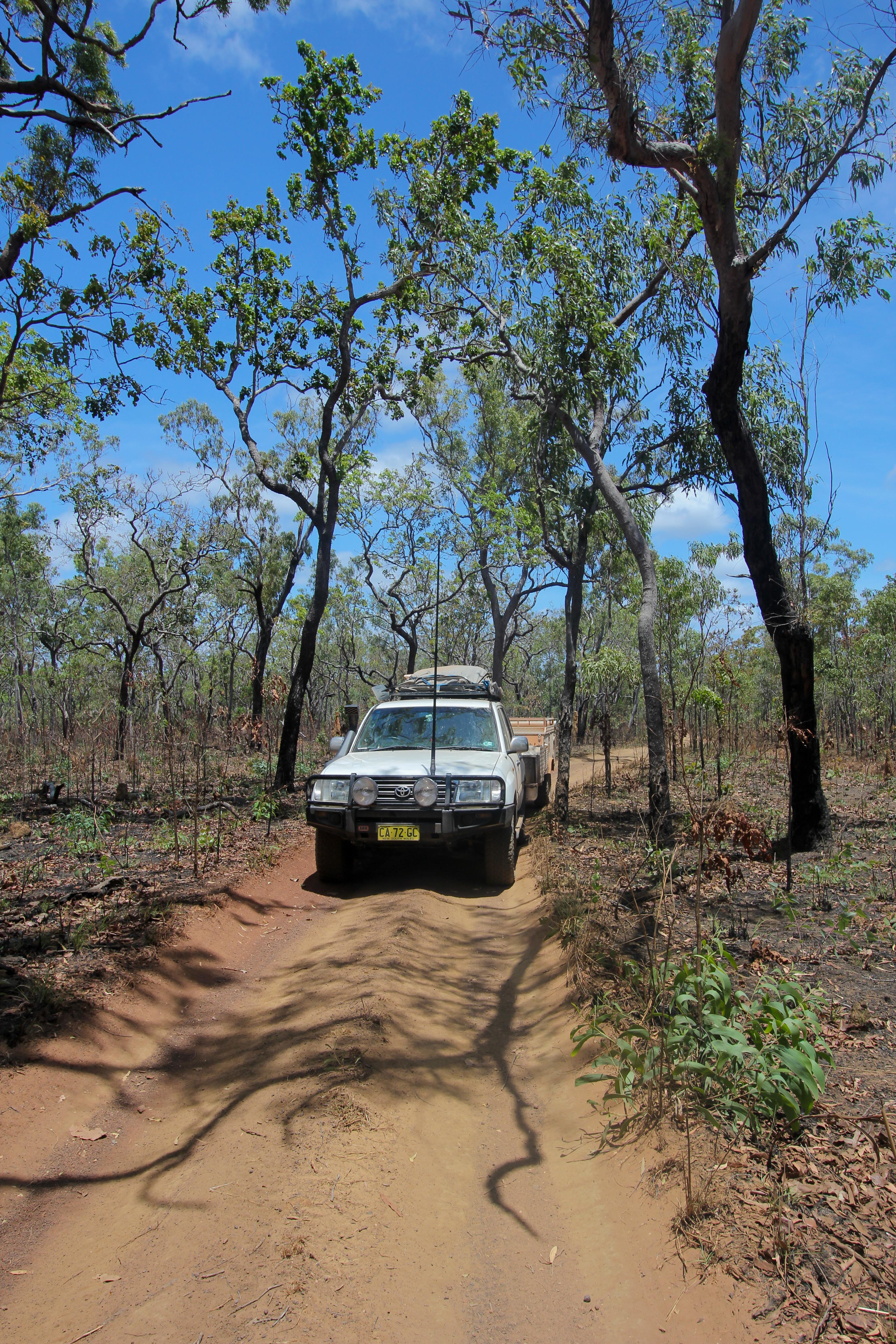
The next morning, after eggs and toast for breakfast, we headed out for day two on the Tele Track. On Mark’s recommendation, we were aiming for the far side of Canal Creek as our goal for the day, which had a large camping area and was just steps away from a swim in clear, croc-free fresh water! We continued to proceed with care on the rough track, with Miranda captaining Cave Lion for the majority of the day. There were several crossings on the agenda for the day: the Dulhunty River, Bertie Creek, Sailor Creek, Cockatoo Creek, and of course the infamous Gunshot Creek. Each of these crossings had their own “trick” to passing safely, many of which were shared by Mark or our guidebook, and confirmed by walking the crossing first, looking for holes, obstacles and checking water depth.
An interesting challenge was Bertie Creek, which required some tricky turns to position the camper onto the rocky bank. The book said it would require trundle along the river a few hundred meters and then making a sharp turn across the river to cross it in order to avoid some very deep holes in the rocks. For some reason, it was not immediately clear to us which path would be best. Somehow we mangled the initial entry and it resulted in lots of stressful turns to ensure we made it into the right position on the bank, parallel to the creek, without dipping our tires into what appeared to be five feet of water. The tires were screeching on the smooth rock and reversing the trailer is a challenge even without the running water below and the unforgiving pitch of the bank. In the midst of our turning debacle, a group of three 4WDs came through the creek in the opposite direction. They didn’t pause to check on our predicament, but they helped tremendously by demonstrating a successful path across the creek.
This picture makes it look easy. The mess was on the entrance a few meters back.
Note for those worriers at home: we knew there were no saltwater crocs in these crossings, otherwise there may have been more of a discussion about walking them first, or at least who would do the walking!
A few deep breaths and we headed onto the next obstacles. Luckily there was a crossing-free stretch that allowed us to enjoy the constantly changing color of the earth and marvel that we had finally made it onto the famous track.
It was in between Bertie Creek and Gunshot that we met our new “mates” Cameron, Leif and Craig- a close group of friends on a fishing, hunting and adventure-seeking holiday. I think they were snickering at our Sydney plates and possibly my bush hat (a “Barmah” made from “squashy kangaroo”), but were then completely surprised when we opened our mouths to discover they had run into a couple of New Yorkers exploring the vast Australian north with five year old twins! I’m guessing we are a pretty rare sight in these parts. We hit it off quickly – Leif won me over with his extensive knowledge of Eddie Vedder and they seemed to enjoy laughing at our butchered pronunciation of Aussie slang. We joined their convoy to Gun Shot, relieved to watch another vehicle tackle the crossing ahead of us.
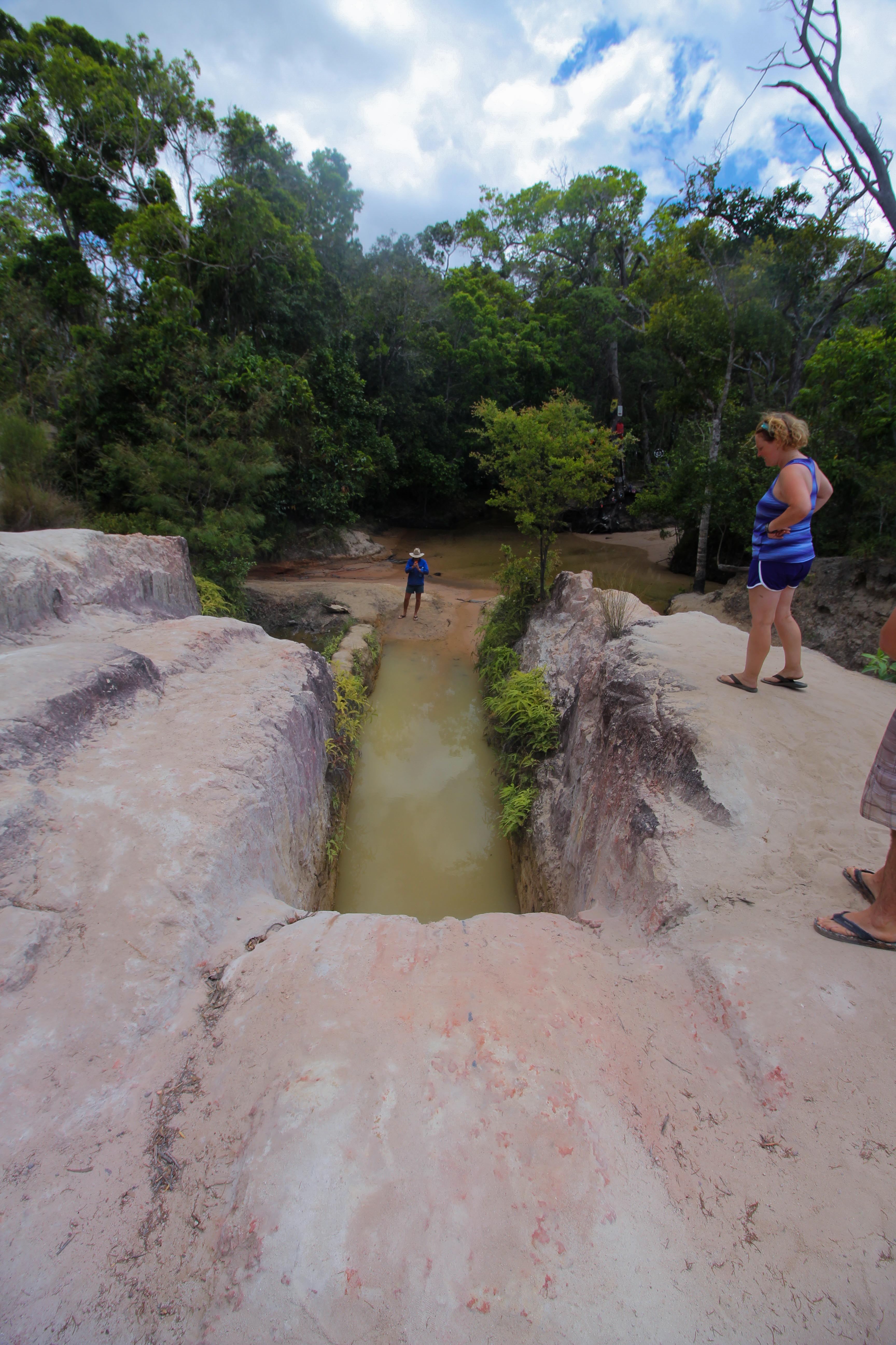
Gun Shot is an infamous crossing and home to several car destructions each year, and indeed the creek was “decorated” with car parts, messages like “Can’t help him – he drives a Ford”, (ouch!), and “Pajero RIP”, and even a few old pairs of, ahem, shorts. My guess is that this is a good area to own a towing business, and in fact we later learned it was an average of $2000 AUD per tow for bogged vehicles! Agh!
Yikes! That is insanely steep!
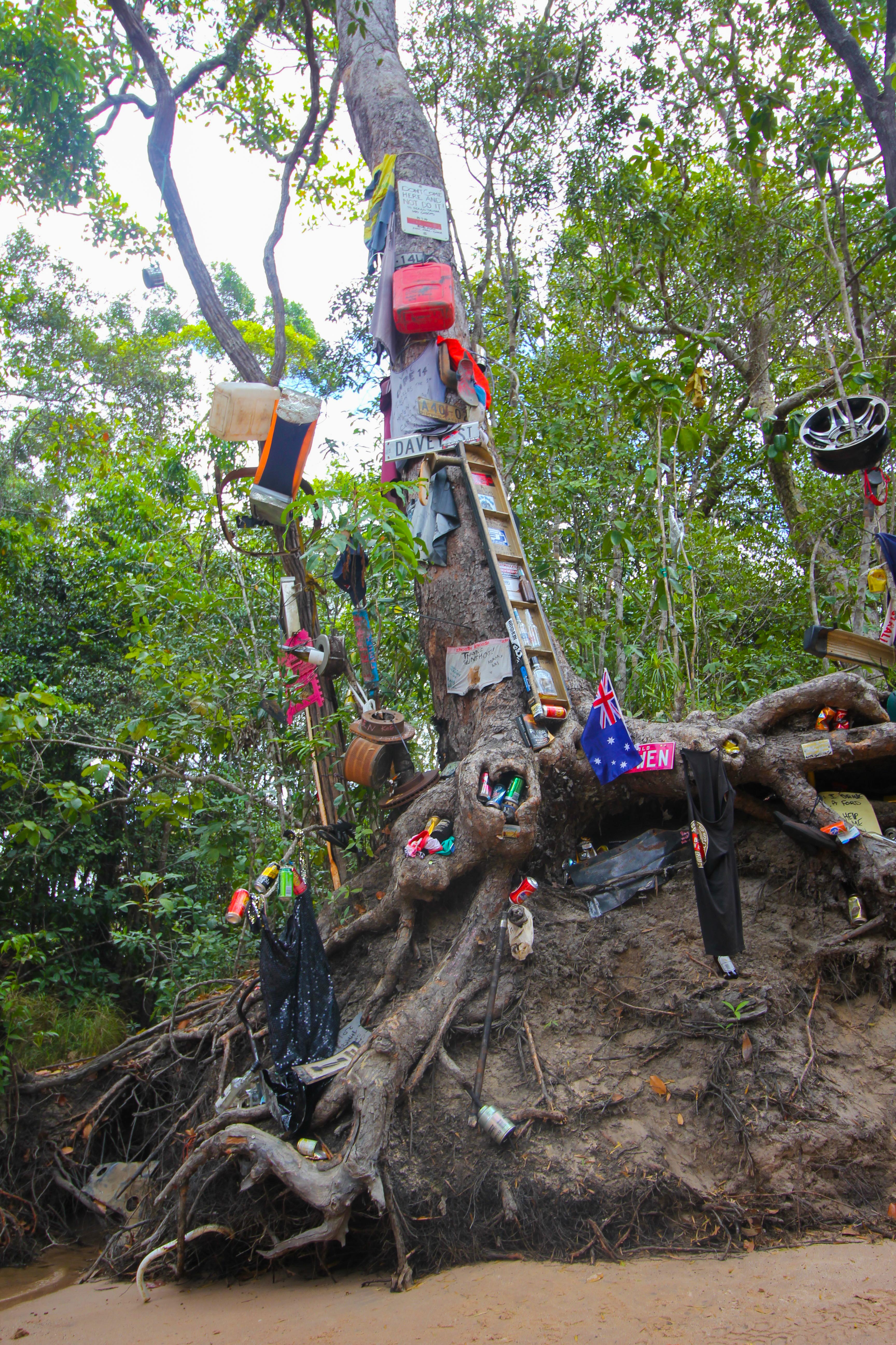
Mementos and quite a few car parts left behind at this crossing.
The danger to the crossing isn’t the water, which is shallow and clear, but the approach, which is essentially a two car length free fall into the creek bed, making it impassable for all intents and purposes. I saw a YouTube video of “experts” attempting this before we left, circled the crossing on the map, and wrote NO WAY!
And yet here we were.
Fortunately a few meters to the left of the notorious “Gun Shot” route, there was a reasonably do-able crossing, likely formed by people with brains over the last decade, where the biggest factor was making sure the approach was clean and carefully steering the camper. Our Cruiser, Craig’s Cruiser, and Leif’s Hi-Lux made the crossing with no problems, and we were on our way!
Taking the easy route through Gun Shot.
And easing out. No worries!
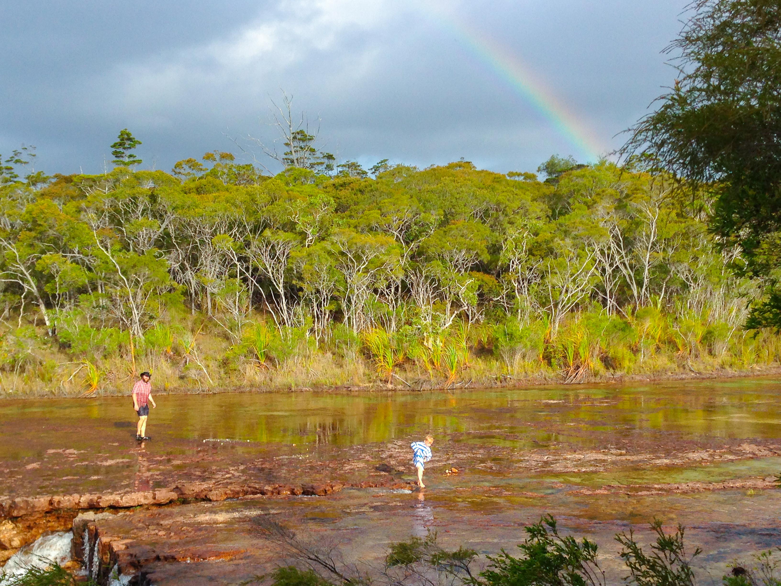
We made lunch at the next crossing, standing in the creek as water ran across our feet as we made sandwiches. We met a couple of other travelers and as was typical in these parts, everyone enthusiastically shared tales of the journey ahead, great spots to stay and large holes to avoid.
Walking the crossing to check for any sneaky holes.
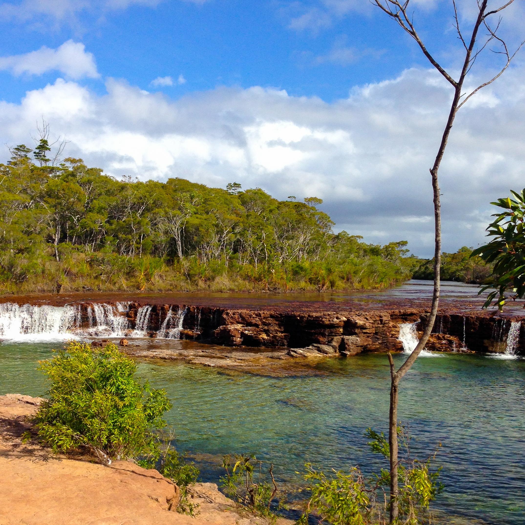
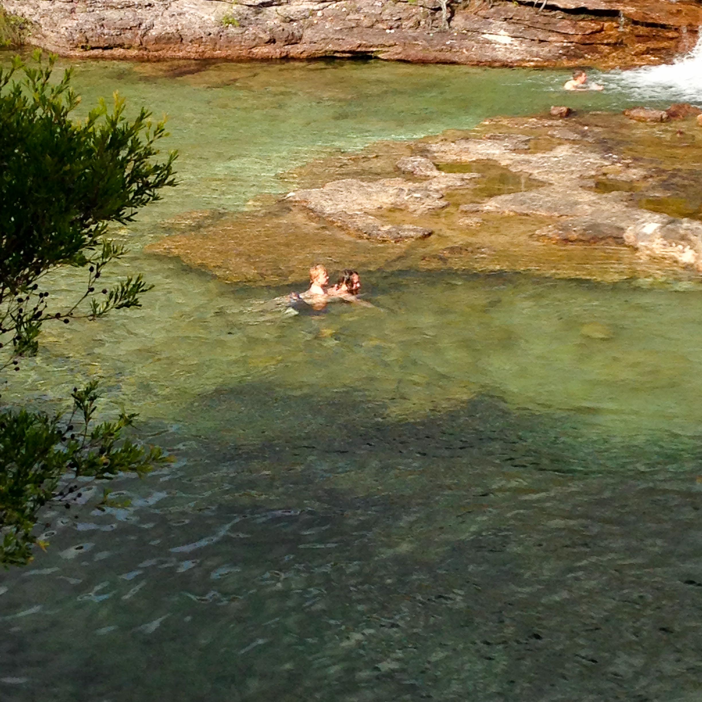
We pulled up to Fruit Bat Falls by late afternoon. This is one of those spots that many people mention as their favorite spot on the journey to the Tip. I was a bit skeptical as it always seems these places can get overhyped – this was not! It was a beautiful wide waterfall with refreshing water. The boys loved traveling around the giant pool on our backs. Miranda and I each took a turn going behind the falls. It was the best shower we had in weeks and left Miranda giddy as the water pounded down on her and swirled around.
It was getting close to dusk, so we reluctantly headed out sharing our planned camping location with our new travel companions.
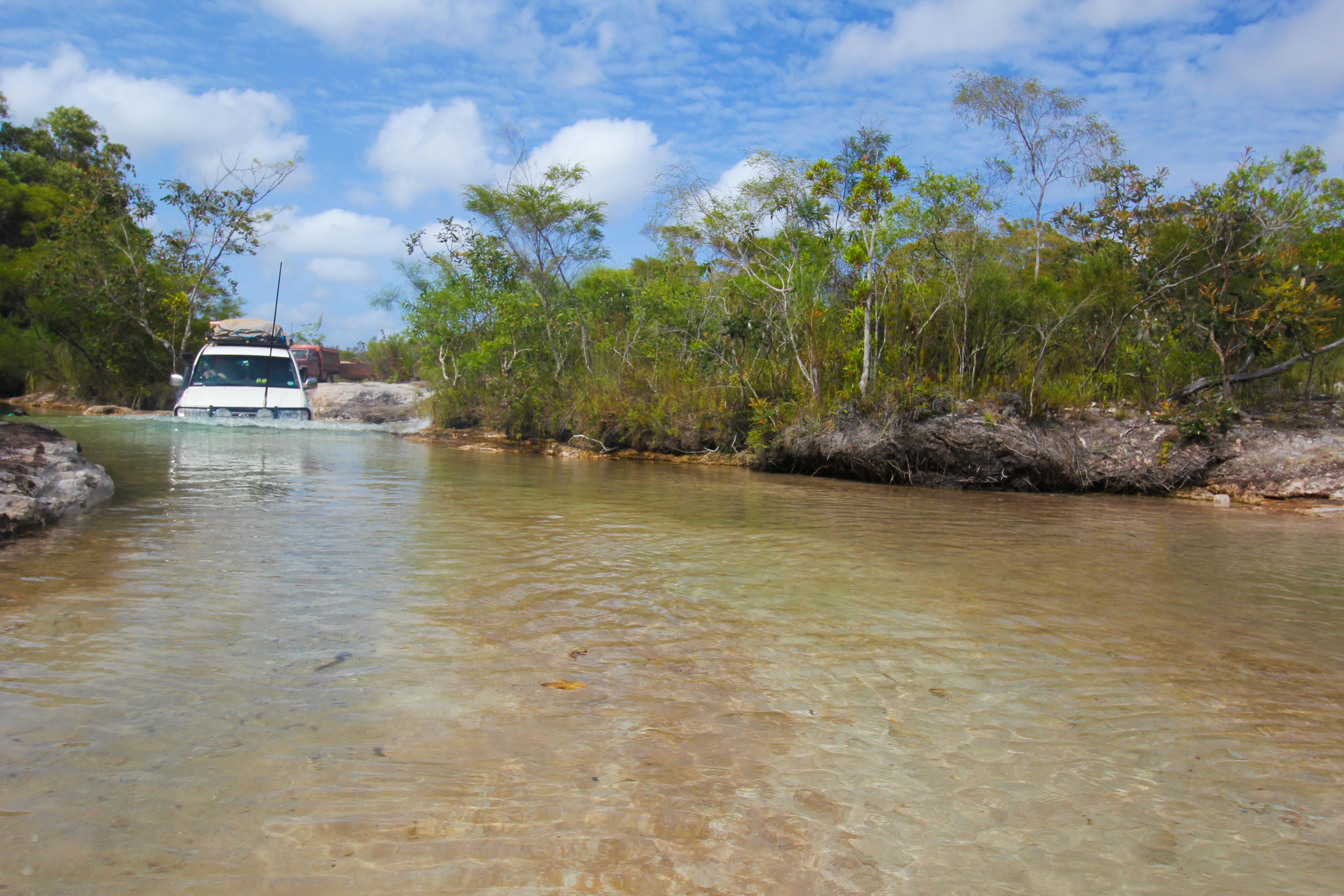
This journey was a bit more anxiety filled as it was starting to get dark and we weren’t sure what was ahead. We came upon the no name creek that many had warned us about. It was murky, dark water all the way across and quite deep (up for the bonnet). We followed previous recommendations and hugged the left bank all the way across – cheering on Cave Lion as we drove.
The water in Canal Creek is crystal clear and it attracted quite a few campers. We found a spot on the far side of Canal Creek which meant one more water crossing on the day. I checked it out while Miranda took the wheel. There were a few people on the creek, but none were readily sharing any details of the crossing – a bit curious, but what can you do? We went for it and Cave Lion made it through like a champ. Bit of a roar from the engine as she broke through the water on the exit and headed up the steep hill and into camp for the night.
A bit later our friends in the Cruiser and Hilux pulled into camp. We had a great night around the camp fire lobbing questions at each other about our countries and backgrounds. We got to clarify a lot of Aussie slang (which incidentally is infinite and not necessarily intuitive as it often uses cultural references that don’t translate) and appropriate use of the CB radio to passing trucks and vehicles among other things.
Day two on the Tele Track was behind us. Little did we know, the greatest adventures were yet to come.
Stay tuned!

This is just awesome !
LikeLike
Pingback: This is What We Came For: Part 4 | Miles from Brooklyn
Stunning photos; absolutely amazing!
LikeLike